
QYRAN E-1
Thermal inspection complex for power lines and switchyards
A gyro-stabilised KÖZ-640 module on the PICO640S sensor: it sees an overheating insulator or clamp from 30 metres, with the line still live.
- 640 × 480
- thermal channel
- < 30 mK
- thermal sensitivity
- 7 mm
- per pixel at 30 m
- 55 min
- endurance with the module
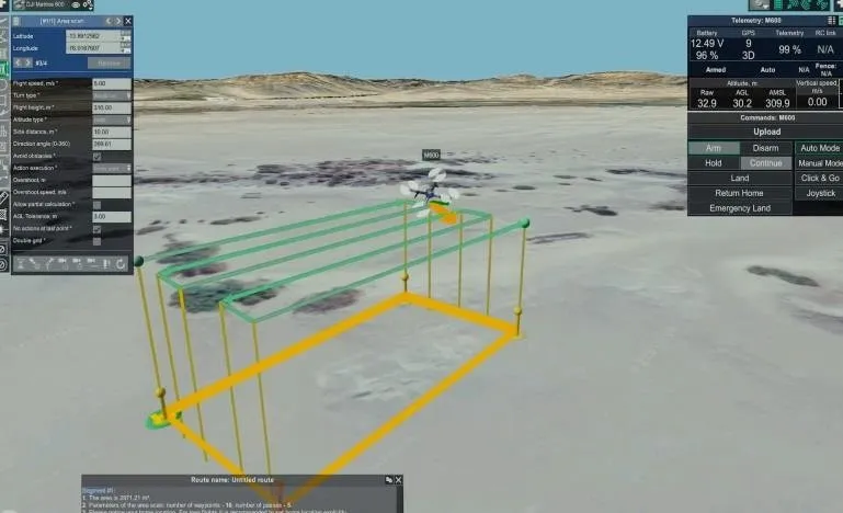
Power lines run for hundreds of kilometres across steppe and mountains, and checking their condition still means sending a crew out, climbing the pylon or taking the line out of service. Qyran E-1 moves that work into the air: the aircraft orbits every pylon through pre-computed viewpoints while the thermal channel reveals a fault long before it becomes an outage.
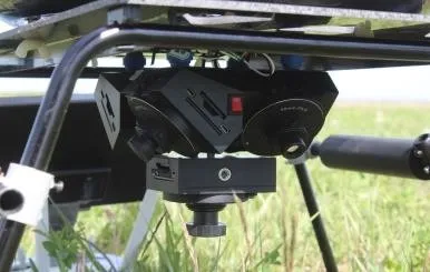
At the core of the complex is KÖZ-640, our own gyro-stabilised electro-optical and thermal module. It is built around the uncooled LYNRED PICO640S sensor: 640 × 480 pixels on a 12 µm pitch, thermal sensitivity better than 30 mK, under 130 mW of draw and shutterless operation — the fewer moving parts, the more dependable the module under vibration.
The second key element is a long-focus lens for the LWIR band (7–14 µm). Its narrow field of view lets the survey be flown from a safe stand-off: at 30 metres one pixel covers about 7 mm, so a clamp or a single insulator cap reads as a distinct thermal detail rather than a blur.
A visible-band (EO) camera works alongside the thermal channel, while the onboard processing unit fuses the two frames, records radiometric data and ties each frame to GNSS marks. In flight the operator already sees the temperatures of identical elements compared side by side; after the flight the system compiles a defect table with the pylon number, the phase and the coordinates.
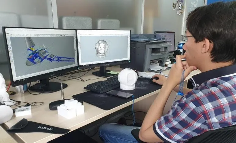
The programme is under development: the opto-mechanical assembly and the control electronics are built and are going through laboratory testing. The design accounts for the electromagnetic environment of high-voltage assets — the power input is galvanically isolated, the housing is shielded, and heading comes from a dual-antenna GNSS rather than a magnetometer.
Applications
- Thermal inspection of 35–500 kV overhead lines
- Diagnostics of outdoor switchyards at substations
- Finding faulty insulators and overheating contact joints
- Winter-readiness surveys
- Rapid post-fault inspection and acceptance of new lines
- Night flights and inspection in poor visibility
Technical specifications
| Parameter | Value |
|---|---|
| Complex | Multirotor UAV + KÖZ-640 module |
| Configuration | Folding quadcopter |
| Take-off weight | 12.5 kg |
| Payload capacity | up to 3 kg |
| Endurance (with the module) | up to 55 min |
| Operating altitude | 10–300 m |
| Stand-off distance | 15–60 m |
| Line surveyed per flight | 6–8 km (25–30 pylons) |
| Maximum wind speed | 15 m/s |
| Operating temperature | −30 °C … +45 °C |
| Ingress protection | IP54 |
| Control and video link | 2.4 / 5.8 GHz, up to 15 km |
| Navigation | Programmed pylon orbit, dual-antenna GNSS heading |
| Mission payload | KÖZ-640 electro-optical and thermal module, 1.4 kg |
| Ground segment | Operator workstation, mission planning and reporting software |
| Programme stage | Experimental design work |
System composition
Inside the KÖZ-640 module
A thermal imager is not a standalone device: the sensor, the optics, the stabilisation, the computing and the power supply are designed as one housing with a single thermal and vibration budget.
-
LYNRED PICO640S thermal sensor
An uncooled 640 × 480 VOx microbolometer on a 12 µm pitch: better than 30 mK sensitivity, frame rates to 120 Hz, under 130 mW of draw and a −40…+85 °C operating range.
-
Long-focus lens for the LWIR band
A 7–14 µm band, 50 mm focal length, f/1.0 aperture and athermalised germanium optics. An 8.8° × 6.6° field of view with a 0.24 mrad instantaneous field of view.
-
Gyro-stabilised gimbal
A three-axis gimbal stabilised to ±0.01°, with −120° to +45° of pitch, ±160° of pan and vibration isolation: the frame does not drift while orbiting a pylon and the measurement spot stays on the chosen fitting.
-
Data processing and control unit
Processes the radiometric stream, records to onboard storage, flags hot spots in real time and exchanges data with the autopilot and the datalink. Outputs over Gigabit Ethernet and HDMI.
-
Visible-band camera (EO)
4K at 30 fps, its field of view matched to the thermal channel. It shows exactly which fitting is at fault and supplies the evidence frame for the report.
-
GNSS/GPS module
GPS, GLONASS, Galileo and BeiDou, with a PPS signal tying every frame to time and position. With the RTK option, geolocation is accurate to 3 cm.
-
Power supply system
12–36 V from the aircraft bus, drawing no more than 25 W. Galvanic isolation and shielding protect the electronics from interference near high-voltage equipment.
Technical specifications
| Parameter | Value |
|---|---|
| Thermal sensor | LYNRED PICO640S, uncooled VOx |
| Thermal resolution | 640 × 480 |
| Pixel pitch | 12 µm |
| Spectral band | 7–14 µm (LWIR) |
| Thermal sensitivity (NETD) | < 30 mK |
| Frame rate | up to 120 Hz |
| Shutter | Not required (shutterless) |
| Sensor power draw | < 130 mW |
| Lens | 50 mm, f/1.0, athermalised |
| Field of view | 8.8° × 6.6° |
| Spatial resolution | 0.24 mrad (≈ 7 mm at 30 m) |
| Measurement range | −20 … +150 °C and +100 … +550 °C |
| Measurement accuracy | ±2 °C or ±2% |
| EO camera | 4K at 30 fps |
| Gimbal | Three-axis, ±0.01° |
| Gimbal travel | Pitch −120°…+45°, pan ±160° |
| Navigation module | GPS / GLONASS / Galileo / BeiDou, PPS; RTK optional |
| Recording | 512 GB SSD, radiometric stills and video |
| Interfaces | Gigabit Ethernet, HDMI, UART/CAN |
| Power | 12–36 V, ≤ 25 W |
| Module weight | 1.4 kg |
Gallery
QYRAN E-1
Other products
-
TENGRI PRO 2.0
Fixed-wing unmanned system
A two-metre flying wing: catapult launch, two and a half hours aloft, parachute recovery.
Learn more -
TENGRI PRO 3.5
Long-endurance fixed-wing platform
A 3,500 mm wingspan: 3.5 hours of flight, a 4,000 m ceiling and large areas covered in a single sortie.
Learn more -
ORION 160S
Heavy-lift multirotor platform
A 20 kg take-off weight and 110 minutes aloft: a stable airborne platform for heavy sensors.
Learn more
Working together
Tell us your task — we will design the flight solution
Monitoring, survey or joint development: our engineers will review your case and help select the platform and payload.