Solutions
Data from the sky, decisions on the ground
Aerial survey is not an end in itself. What matters is data precise enough for an agronomist, a grid engineer or a geologist to act on the same day.
-
Agriculture
The real state of a field — measured data, not guesswork.
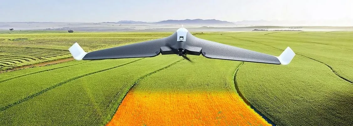
An NDVI sensor records the chlorophyll activity of a crop: nitrogen deficiency, an irrigation fault or a pest outbreak appears on the map while the human eye still sees nothing. A single Tengri Pro 3.5 sortie covers thousands of hectares and returns an orthomosaic with a map of problem zones.
- NDVI crop monitoring
- Orthophoto plans and field boundary verification
- Yield forecasting and variable-rate fertilising
- Assessment of flood and drought damage
Suitable platforms
-
Energy and power lines
Hundreds of kilometres of line inspected without sending a crew.
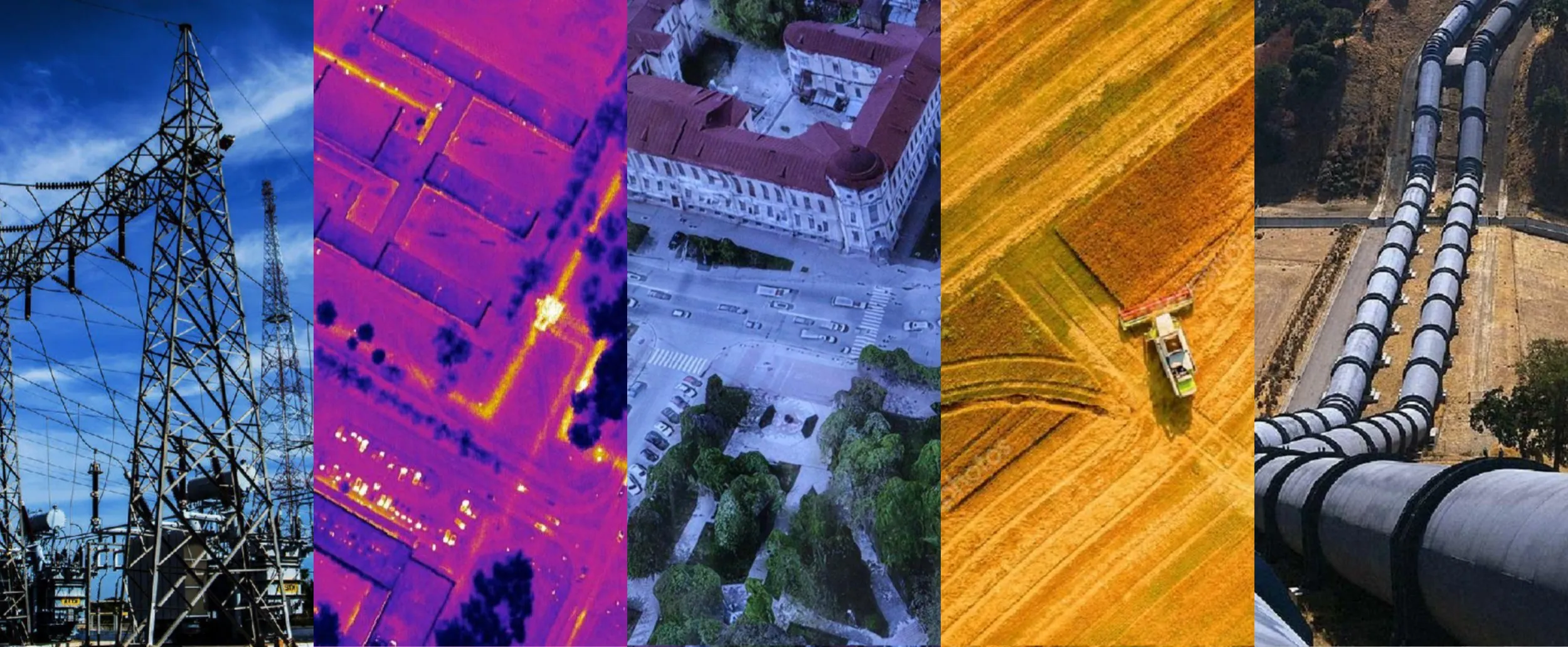
A thermal imager detects overheating insulators, oxidised contacts and faulty splices without contact. A fixed-wing aircraft flies the whole line corridor in one sortie, while the Orion 160S inspects a complex pylon in detail from every side. A dedicated complex, Qyran E-1, is under development for the industry: its KÖZ-640 module on the PICO640S sensor measures heating on lines and in outdoor switchyards from a safe stand-off, with the equipment still live.
- Thermographic inspection of line corridors
- Thermal diagnostics of outdoor switchyards
- Condition survey of pylons and fittings
- Winter-readiness inspections
- Rapid post-fault assessment
Suitable platforms
-
Oil and gas
Pipeline routes, gas leaks and right-of-way discipline.
A gas analyser combined with a thermal imager reveals leaks along a trunk pipeline, while high-resolution photography exposes unauthorised works and excavation inside the right-of-way. All survey data is collected in a single coordinate system.
- Trunk pipeline patrol
- Gas leak detection
- Survey of field infrastructure
- Right-of-way monitoring
Suitable platforms
-
Geodesy and mapping
Orthomosaic, terrain model and 3D model — from a single flight.
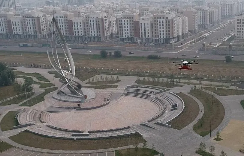
Aerial imagery is processed into a digital terrain model and a three-dimensional model of the site. Such data underpins cadastral work, design, earthwork volume calculation and spatial planning.
- Orthomosaics and topographic maps
- Digital terrain models
- 3D models of sites and structures
- Land cadastre and boundary verification
Suitable platforms
-
Geology and subsurface survey
Radar that never touches the ground: swamp and snow are no longer an obstacle.
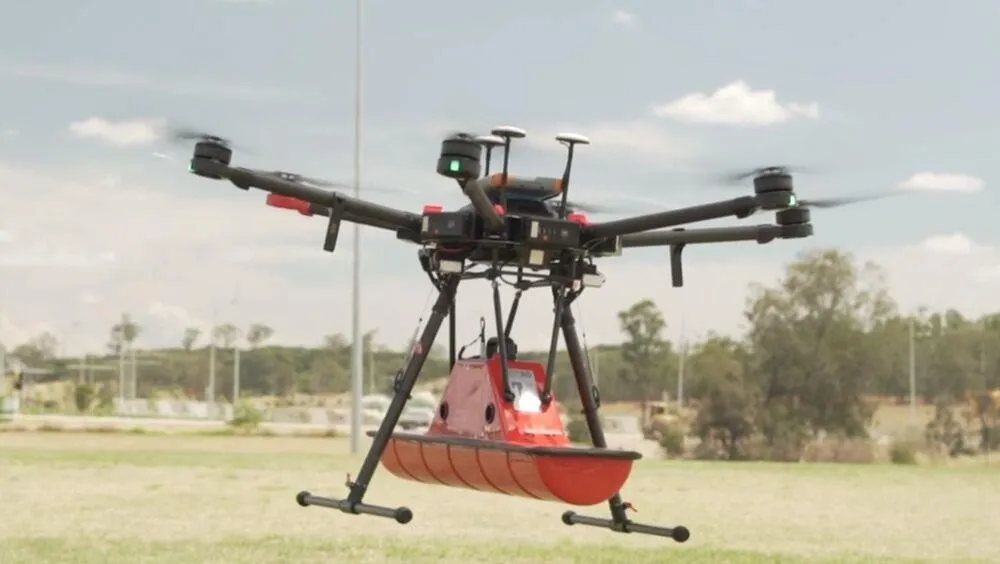
The airborne GPR complex records subsurface structure, buried utilities and anomalies in terrain no ground vehicle can cross. One flight yields a profile of up to 2,400 metres.
- Engineering and geological surveys
- Locating buried utilities
- Archaeological prospecting
- Ice and permafrost studies
Suitable platforms
-
Emergency response and security
Whoever sees the source first, decides first.
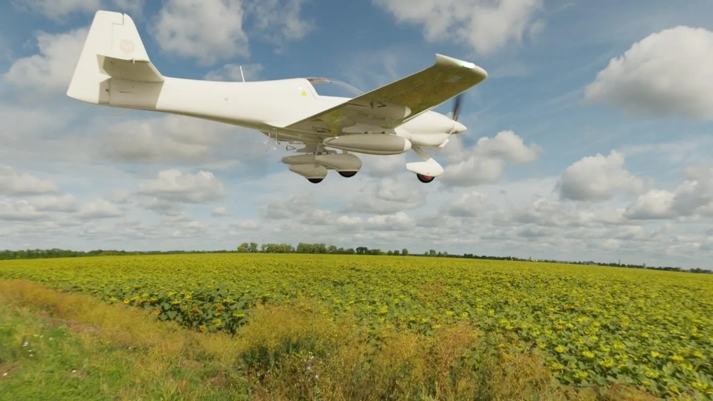
A thermal imager sees a fire source through smoke and darkness, while a long-endurance platform keeps a flood or fire zone under continuous watch. Data reaches the operations centre in real time.
- Early detection of forest and steppe fires
- Flood zone monitoring
- Aerial support for search and rescue
- Perimeter surveillance of facilities
Suitable platforms
Working together
Tell us your task — we will design the flight solution
Monitoring, survey or joint development: our engineers will review your case and help select the platform and payload.